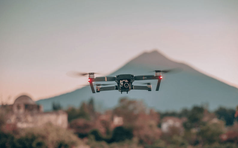
Drones are now more mainstream than ever before, as they once were solely used for military operations. While drones are still used in the military, a number of personal and commercial uses have been found for this technology. Top nationwide drone service companies like FlyGuys are answering the increasing demand across industries. The need for aerial imaging data allows businesses to make more informed decisions due to the information gathered. Below are ways drones operate in different business sectors and how companies like FlyGuys can help.
Safety Improves With Aerial Imaging Options
Drones help immensely when it comes to mapping a large area for construction. The ability to view multiple areas of a large project in a matter of seconds provides ultimate convenience. Highway projects are a perfect example of the type of project that safety can be improved through the use of drones. Drivers are notorious for speeding through work zones which can be fatal for an unsuspecting worker.
Other sectors that have seen an improvement in safety due to aerial imaging is that of infrastructure inspections, like transmission lines and industrial plants. Scaling a large building or bridge can prove dangerous when compared to staying on the ground and operating a drone. FlyGuys has a focus on making this aerial data collection more affordable and accessible to projects of all sizes across the country. Overcoming challenges presented by a project in a safer manner while improving efficiency are just a few of the benefits of utilizing drones. Using their drone services makes the end-product more attainable and cost-effective than companies trying to do it on their own.
Aerial Data Gathering Software is State of the Art
The ability to use drones to gather aerial data helps reduce mistakes made when manually gathering data. Mapping a piece of property becomes far easier using drones as it is more efficient. The data can be visualized quickly without missing any details like hydrants or small structures. The ability to map out an entire project site in a matter of days can help keep projects on track, while still being able to collect highly accurate data.
How FlyGuys Can Help
FlyGuys can help with data collection using infrared, RGB, LiDAR, and hyperspectral sensors. They have a large network of certified pilots that are ready to travel to a location whenever they are needed. FlyGuys utilizes drones, helicopters, manned fixed-wing aircrafts along with a number of terrestrial collection methods. Their solutions span various industries including utilities, agriculture, construction, engineering and more.
The attention to detail that aerial imaging companies like FlyGuys offer to various industries is invaluable. Connecting with a top professional to discuss a project will be the first step. You might find that aerial imaging services are more affordable than you could have ever imagined. Startups in this niche are going to continue to thrive as the efficiency and practicality of aerial imaging continue to grow.