With the booming industry, satellite data is available more than ever, and there are multiple ways you can leverage the trend.
As we mentioned in our previous story, India’s Bid to be a Global Leader in the Spacetech, the rise of space tech, reusable rockets, and privatization of space industries have ignited a satellite boom.
If you don’t believe us, consider these numbers:
According to a report published in The Hustle on August 2021 (1):
- About 2k high-tech devices were orbiting the earth in 2019
- As of now, there are over 7k devices; both active and inactive
- And according to an estimate, it will be over 50k by 2030
For the past several decades, space was the preserve of governments and multi-billion-dollar companies like Boeing. Then, three things changed:
- Rocket launches became cheaper
- Satellites got miniaturized
- Satellite data analysis tools became more advanced
These shifts led to the emergence of a host of private players, ultimately exploding readily available, high-resolution images (2, 3).
We are all aware of the tons of applications satellites offer. Whether it is about predicting the weather, tracking our Amazon deliveries, or watching live sports on our screens, it is all made possible because of satellites orbiting our planet.
Now, space innovators are broadening the industry. They are using satellite images of the earth to build new and creative applications to solve a broad range of problems.
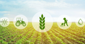
Today, these satellites help us predict the price of land, copper and help fight deforestation. There are predictions that they can change the way we rent an apartment or buy our every morning coffee in the next few years.
It is worth highlighting that 54% of satellites launched today are for commercial use (4), and about 25% are dedicated to observing the earth (5).

The frequency and quality of satellite images have increased at a significant pace.
Planet, the industry leader, captures about 1.2 million images a day, covering the earth. Notably, their highest-resolution images can capture details even as small as a shoebox.
And thanks to these new players, satellite imagery is now affordable enough for even small businesses to leverage. Long story short, today, applications for those imaginary satellite data are popping up in every possible industry.
Applications of the Satellite Data
The first planet observation satellite, Landsat 1, launched by NASA in 1972, weighed more than 1800 kg.
Today, our so-called “smallsats” weigh about 12 kg and are about the size of a shoebox.
Such massive shrinkage was possible thanks to readily available, small electronics found in our smartphones.
The combination of affordable launch solutions, low-fuel requirements of these smallsats made it possible for smaller companies to enter the NewSpace race.
Several companies such as Elon Musk’s SpaceX, Rocket Lab, and Open Cosmos have made it in this space.
And as satellite hardware is compressed, the software also becomes more superior.
“We have witnessed an increased interest from smaller countries, researchers, and startups. Space has now become a tool instead of an end. Today, our clients want to gather unique data and create solutions to solve some of the world’s biggest issues,” stated Aleix Megias, VP of Operations, Open Cosmos (6).
Business Intelligence
Thanks to ML, we can quickly identify and count objects and detect changes as time progresses.
Businesses such as RS Metrics now use satellite data to sell services to the commercial space. For instance, they collect data on the number of cars parked in over 65k retail parking lots such as McDonald’s or Walmart and help investors find economic trends.
The company also uses the data to help retailers manage their supply chains and establish property values.
Other products of RS Metrics include:
- MetaSignals: It monitors the activity at metal processing and storage facilities to predict metal prices and other related trends.
- EV Tracker: It offers investment data according to activities at EV factories.
The CEO of RS Metrics, Maneesh Sagar (7), believes that satellite imagery will be an integral part of every industry in the foreseeable future.
“In 2021, it is essential for small and medium businesses that can afford to start using the satellite data to make daily decisions,” stated Sagar.
Notably, businesses can obtain satellite images for less than 2 USD per km2 for medium resolution and 15 USD per km2 for high resolution (8).
Environmental Sustainability
Last year, RS Metrics collaborated with Harvard University to date the first emergence of coronavirus by analyzing car numbers at Wuhan hospital parking lots. Notably, it is a technique we can also utilize in the future for any disease outbreaks.
And since the early days of the observation satellites, they have also been extensively used to monitor the environment, a pressing global concern.
We can use the satellite imaginary to:
- Map CO2 super-emitters
- Assess disasters such as oil leaks and floods
- Find potential wildfire hazards
- Track coral reefs’ bleaching
According to the founder of Trade in Space, Robin Sampson (9), saving the planet earth is becoming an increasingly commercial pursuit.
“We have transitioned from looking at environmental sustainability as an aspirational soft target to making it a great legal need. For instance, you can not sell your goods in Europe without proving how much carbon is contained within the same,” explained Sampson.
Trade in Space, an Edinburgh-based company, uses satellite images to solve issues in the coffee farming space.
The startup sources images of farms and uses ML algorithms to immediately find farm areas and detect the number of coffee bags in each field. This data helps coffee traders evaluate farms, trade, and manage their supply.
The company also offers another tool, which uses blockchain technology to add those coffee bags into a digital ledger. It allows players to trace those coffee beans back to their origin field at any point in the entire supply chain.
The technology can have major environmental implications.
One of the applications of this technology is allowing customers to access the carbon footprint of their cup of coffee at any point of sale. Or, people can also check the volume of water used to produce a pair of jeans.
Opportunities
Before we talk further, let us clarify that you don’t have to be Boeing or SpaceX to leverage satellite data. Yes, most launch services are dominated by big players. However, if you go further down the supply chain, you will find plenty of small-scale businesses (10).

Some businesses specialize in turning pictures into data. For instance, as we discussed, RS Metrics counts vehicles to generate economic trend data. On the other hand, companies like Earth-i track activity at metal smelters to predict their prices.
Multiple other companies use satellite image data for individual purposes. A company based in New Zealand uses images of pastures to decide grazing areas for their cattle (11). Another company based in California uses satellite mapping to offer remote quotations for lawn maintenance (12).
Businesses can also use satellite images to monitor pipelines, track endangered species, and predict disasters like forest fires.
Services for the Space Industry
Building and setting satellites into orbit remains one of the most inaccessible parts of the space industry. However, the recent development in the area suggests that this space is worth watching.
It cost millions of dollars to build a satellite and millions more to launch it until the past few years (13). However, thanks to new players, you can now build a satellite for less than 600k USD (14). Companies like Rocket Labs allow you to launch nanosatellites on their mini rockets for about 1.5 to 2.5 million USD (15).
Open Cosmos offers a get-into-space service that includes the design, launch, and operation starting from 700k USD with a turnaround for less than a year. Notably, the company has secured 7 million USD in funding and partnered with the European Space Agency.

And their success has exposed demand for services to support the industry. Meaning, you can explore business opportunities like:
- Satellite insurance brokerage
- Customer component design (3D printing too)
- Operation software
- Mission planning services
Satellite Rental Service
According to available data, the process of purchasing satellites is not an easy task. Not every image provider covers the area you may need at the desired resolution and frequency.
While image brokers are available (16), there is still room for entrants to offer a platform that connects buyers and providers and makes satellite data acquisitions smoother.
If any satellite is not covering the required area, one can maneuver it into a new position. One such model is a satellite rental service, allowing companies to capture custom images without owning any satellite.
Direct2Consumer
The post-pandemic customer is concerned about the origin of their products. And we can use satellites to gather data about product origins, as mentioned above.
- Monitoring of unsustainable farmland use
- Monitoring of any illegal fishing
- Monitoring of water, air pollution
A platform like Trade in Space, combining satellite with blockchain technology, can show customers the entire value chain. A commercial or housing property buyer interested in garnering data like flood risks, nearby construction projects, street parking availability, traffic volumes, etc., can also leverage the same.
Potential Challenges
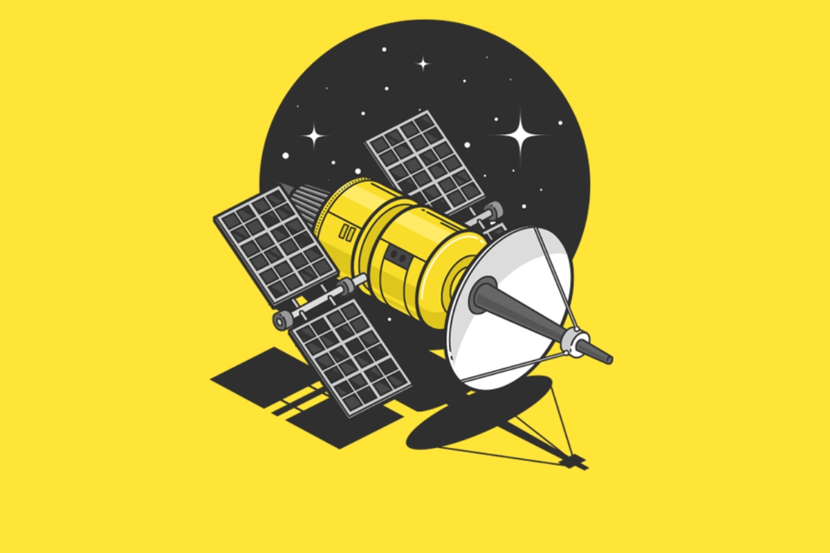
While earth observation can make a plethora of new and exciting business opportunities, it is not the fuel behind the explosion of the satellite industry. The communication services (look at the image at the start of the article for reference) dominate our skies. Notably, it accounts for more than 61% of active commercial satellites in our orbit.
One sector set to rise in particular is satellite internet services.
While communication satellites have tons of uses, including air traffic control and banking transactions, satellite internet has always been too laggy for widespread adoption anywhere except remote areas.
However, it all changed when SpaceX decided to address those issues.
In 2020, SpaceX launched 1029 smallsats in our orbit. And about 75% of them, 773, are part of its Starlink project.
Starlink is SpaceX’s global high-speed broadband service. We can also call it a new approach to satellite internet which relies on a network of interconnected satellites at low altitude orbit.
Eventually, Starlink’s fleet will be made up of about 40k satellites. And the number is so high that it is meeting legal challenges with overnight skylights and how it can impede the astronomers’ work.
Read Also: Space Billboards: A “Bright” New Marketing Tool or A Threat to Humanity?
The Starlink project is currently available as a beta service to limited countries. Users have reported competitive speeds with a delay of less than 30 milliseconds. While the service is still spotty, it is touted as good enough for Netflix binges and online gaming.

For more details about SpaceX’s Starlink project and other similar satellite internet bids, read our previous stories, Elon Musk’s Starlink India Launch Hype, and The Broader Vision of Amazon with Project Kuiper.
Overall, the demand for high-speed internet would increase with the increased adoption of digital services amid the pandemic and the rise of IoT, Internet of Things.
While the satellite boom has a lot of positive things stored for us, there is still so much one can criticize about thousands of obscure cameras staring down at us.
Of course, as Owen Hawkins from Earth-i, a geospatial intelligence company, argues, the privacy threat from satellites is nowhere near that of social media and our smartphones.
Read Also: The Data of Your Mobile’s Location is Worth Multi-Billion Dollars
Read Also: Facebook is Again Under Spotlight With The Latest Revelations From The WhistleBlower
But even if we put the privacy concerns aside, there are still several regulatory challenges around space debris.
Our best hope is that the threat of increased costs led by increased space debris and more comprehensive legislation can lead to a sustainable solution.

Rucha Joshi, currently managing a team of over 20 content writers at TimesNext is fueled by her passion for creative writing. She is eager to turn information into action. With her hunger for knowledge, she considers herself a forever student and a passionate leader.