In sweeping changes in the country’s mapping policy, the government on Monday announced liberalisation of norms governing the acquisition and production of geospatial data, a move that will help in boosting innovation in the sector and create a level-playing field for public and private entities.
Under the new guidelines, the sector would be deregulated and aspects such as prior approvals for surveying, mapping and for building applications based on that would be done away with, Department of Science and Technology Secretary Ashutosh Sharma said.
For Indian entities, there will be complete deregulation with no prior approvals, security clearances, and licences, for acquisition and production of geospatial data and geospatial data services, including maps, he said.
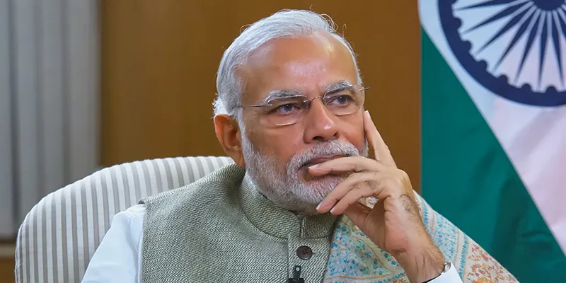
Prime Minister Narendra Modi said the liberalisation of policies governing the acquisition and production of geospatial data was a “massive step in government’s vision for an Aatmanirbhar Bharat”. The reform will benefit the country’s farmers, startups, private sector, public sector and research institutions to drive innovations and build scalable solutions, he said.
Science and Technology Minister Harsh Vardhan in a press conference said the easing of norms will greatly help in several sectors that were suffering because of non-availability of high quality maps.
“Availability of comprehensive, highly accurate, granular and constantly updated representation of geospatial data will significantly benefit diverse sectors of the economy, significantly boost innovation in the country and greatly enhance its preparedness for emergency response,” Vardhan said.
He said earlier even the Survey of India, the organisation entrusted with making maps, had to seek permission for mapping from different agencies, thus delaying its work by at least three to six months.
In a series of tweets, Modi said, “Our government has taken a decision that will provide a huge impetus to Digital India. Liberalising policies governing the acquisition and production of geospatial data is a massive step in our vision for an Aatmanirbhar Bharat,” he said.

Prime Minister Narendra Modi
Unlocking opportunities
The move will unlock tremendous opportunities for the country’s start-ups, private sector, public sector and research institutions to drive innovations and build scalable solutions. This will also generate employment and accelerate economic growth, he stressed.
‘India’s farmers will also be benefited by leveraging the potential of geospatial and remote sensing data. Democratising data will enable the rise of new technologies and platforms that will drive efficiencies in agriculture and allied sectors.
“These reforms demonstrate our commitment to improving ease of doing business in India by deregulation,” he said.
Vardhan explained that with the advent of publicly available geospatial services, a lot of geospatial data that used to be in restricted zone are freely and commonly available now and some of the policies/guidelines that used to regulate such information have been rendered obsolete and redundant.
“What is readily available globally does not need to be regulated,” he said.
Under the new guidelines, terrestrial mobile mapping survey, street view survey and surveying in Indian territorial waters will be permitted only to Indian entities irrespective of accuracy.
All geospatial data produced using public funds, except classified geospatial data collected by security and law enforcement agencies, to be made accessible for scientific, economic and developmental purposes to all Indian entities and without any restrictions on their use.
Vardhan said due to this policy, the whole sector will open up in a big way and geospatial data of value of Rs 1 lakh crore can be acquired and used by 2030.
Talking about Google Maps, he said, “If we have to make our own services available, we have to liberalise, start collecting and using data.”
Jitendra Singh, Minister of State for Department of Space, said the decision will enable India’s geo-mapping potentials to be used for a higher goal of India emerging as a frontline nation in all sectors and not confining to its geo-mapping capacities only for security purposes.
Singh added that unshackling the geospatial sector would play a stimulating role for the space industry as this sector is at the core of cutting-edge technologies like 5G.
Industry welcomes move
The industry also the welcomed the new guidelines.
Agendra Kumar, President, Esri India Technology Pvt Ltd which is into mapping and spatial analytics solutions, said by easing collection, generation, preparation and dissemination of geospatial data and maps within the country, the new policy will enable sharing, collaboration and easy access to data without any constraints.
“This would unlock tremendous opportunities for applications of GIS (Geographic Information System) in sectors like agriculture, mining, water, urban utilities, public safety and infrastructure which already rely heavily on geospatial infrastructure. Even private sectors like insurance, manufacturing, retail, banking can now tap into multitude of new opportunities enabled with location analytics.”
Sajid Malik, Chairman and Managing Director of Genesys International which has created a 360-degree immersive street imagery of all major Indian cities, said the announcement is path-breaking and heralds a new era in Indian geospatial data collection and publishing.


